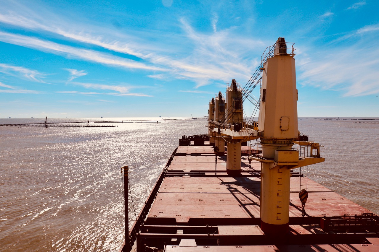
View from the deck of the Stavenger. (Photo by: Folwell Dunbar)
“Very few people ever see this,” said the captain excitedly in a thick Italian accent. “There are no roads down here. We are at the end of the world.”
The captain and I were both taking pictures of the disappearing shoreline near the mouth of the Mississippi River. “You see that lighthouse over there?” said the captain. “It was built before the Civil War. That one over there was built in 1871. And that one on the other side is new. It was built after Katrina. It is amazing, no?!”
I was riding on the Stavanger, a container ship the length of two football fields. It was built in Cyprus, but it was owned and operated by a company from Germany. It was transporting American grain, corn, soybean and wheat from the Midwest to Mexico. The captain was from Sicily, his crew was from the Philippines, and their bar pilot was from Folsom, Louisiana. Fortunately, they all spoke English. “It’s the language of the sea,” said the captain.
Journey to the End of the World
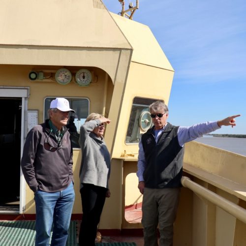
Earlier that day, I had met Captain Michael Miller, the President of the Associated Branch Pilots or Bar Pilots at the Port of New Orleans. A mutual friend of ours, Michael Kearney, the CEO of The Kearney Companies Inc. and a former Rex, had convinced Captain Miller to let us “stowaway” on a container ship. Kearney, his beautiful wife Susu, and I jumped in an SUV with Captain Miller and set out for Venice – the one in Louisiana, not Italy.
The drive took about hour and a half. Along the way, we discussed a gumbo of topics. We talked about the five deep-water ports and three pilot associations on the river, competition from other ports along the Gulf of Mexico, the advantages and disadvantages of being on the river, the devastation from Hurricane Katrina, demographic and economic challenges facing Plaquemines Parish, the demands of new, larger Panamax ships, local politics, and the best restaurants south of New Orleans. Of course, we also talked about efforts to save the coast, including the state’s Master Plan. “Some people say we can’t save the Bird’s Foot,” said Captain Miller, “but I disagree. It’s gonna require both dredging and diversions – good science and hard work.”
“My main concern is navigation,” stressed Miller. “We need to keep the river deep enough for ships to pass safely. A lot of business and livelihoods are at stake.”
At the literal “end of the road” in Venice, we reached the Associated Branch Pilots’ headquarters. Towering above the marsh, the steel and cement edifice looks like a modern interpretation of a medieval castle – surrounded by wetlands instead of a moat. “Katrina destroyed the previous building,” said Captain Miller pointing to a picture of the ruins. “We made sure to keep the new one on ‘the right side’ of the levee.”
The inside looked like a posh hunting camp. There was a large-screen TV, lounge chairs, board games and books. “There’s not a lot to do down here besides fish,” said Captain Miller. “We try to make it as comfortable as possible.”
Miller then pointed to a giant glowing dispatch board on the wall. “That’s every ship on the river,” he said. “We know where they’re from and where they’re going, what they’re carrying and how much it weighs. That’s our ship right there.”
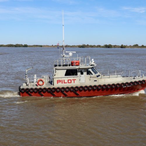
We left the compound and jumped on a sturdy looking pilot boat. We cut across the current and pulled up alongside the Stavenger. With both boats moving at the same speed, the crew threw down a rope ladder and we climbed aboard.
The Italian captain. (Photo by: Folwell Dunbar)
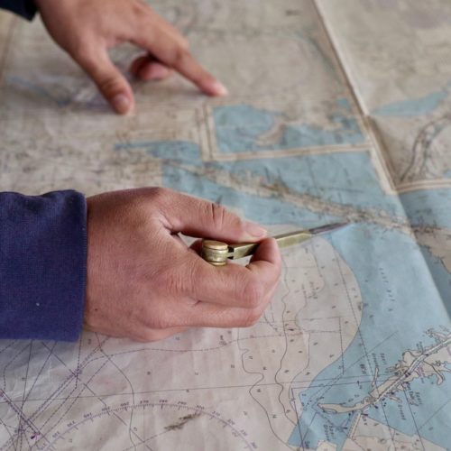
For the next twenty miles, Brandon Waag, a bar pilot from Louisiana, was at the helm – allowing Il Capitano to take pictures. Waag never sat down; he was always moving. With a two-way radio in his hand, he paced back and forth between starboard and port. He spoke to the captain and crew, he spoke to other ships, he spoke to the folks at the two pilot stations, and he spoke to us. “It’s all about communication and coordination,” he said. “There are a lot of moving parts. We all have to be on the same page.”
Consulting a laptop GPS on the bridge, Brandon added, “Today, we rely on technology a lot, but navigation still requires a great deal of experience and intuition. I can feel the pressure from every submerged sandbar – I can tell you how much water is displaced by every passing ship. I know this river like the back of my hand.”
Ol’ Man River
“Cruise ships usually leave at dusk,” said the Sicilian captain. “When the passengers wake up, they see nothing but blue water. Sadly, they miss out on 300 years of history.”
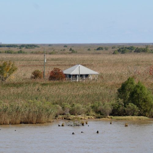
Along the Southwest Pass, we saw James Eads’ ingenious jetties, munitions bunkers from WWII, oil and gas storage facilities, and hunting and fishing camps (some abandoned and some occupied), citrus farms, cattle ranches, spud barges, dredge lines and “beaches.” And, we saw lots and lots of ships. “It’s why New Orleans is here,” said Captain Miller. “People sometimes forget that.”
Standing on the Stavenger’s bridge, I thought about the many people who had plowed these waters over the years: Native Americans, Pierre Le Moyne d’Iberville and his brother Bienville, Andrew Jackson, Admiral Farragut, Mark Twain and Sam Zemurray, slaves, gamblers, traders and trappers, engineers, tugboat captains, longshoremen, pirates and privateers. Drifting down the Mississippi is like walking the Appian Way.
“The Big Muddy” is an obvious nickname. Stretching from Lake Itasca in Minnesota all the way down to the Gulf of Mexico, the Mississippi is the 3rd longest river in the world. It borders 10 states and, along with its many tributaries, drains almost half of the continental U.S. It certainly qualifies as “big.”
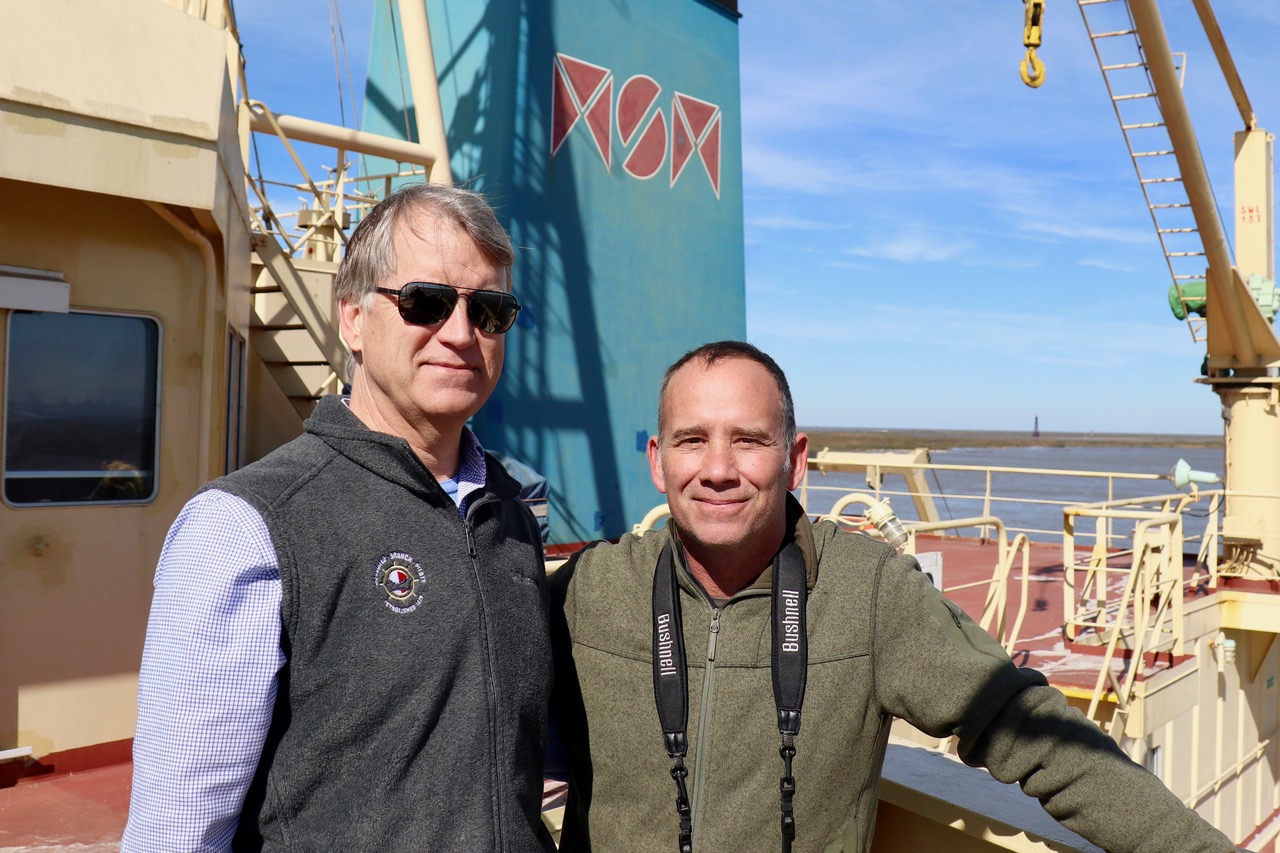
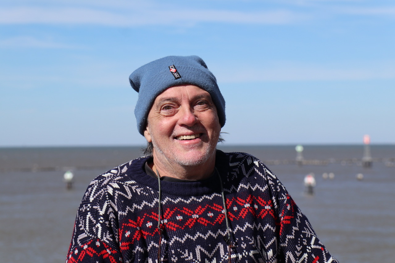
The author, Folwell Dunbar, with Captain Miller. (Photo by: Folwell Dunbar)
The Mississippi carries between 200 and 700 thousand cubic feet of water per second. That water is filled with sediment, making it, well, awfully muddy. Chocolate brown water churns, swirls, boils and foams. At the bottom end of the delta, it feels like you are riding on the crest of a massive, overflowing septic tank.
Captain Miller told us a story about a cruise ship passenger who was feuding with his girlfriend. He decided to jump overboard and head back to New Orleans. “He saw lights along the bank,” said Miller. “He figured he could catch a cab back to the city. He didn’t realize he was at the end of the world.”
At the mouth of the Mississippi, a thin sliver of marsh grass separating the river from the Gulf slowly disappeared. Now, only navigation buoys, shrimp boats and oil rigs break the broad horizon – they and a long line of ships waiting for a pilot to take them in the other direction.
Folwell Dunbar is an educator and writer from New Orleans. He is the author of He Falls Well: A Memoir of Survival. He can be reached at fldunbar@icloud.com.
